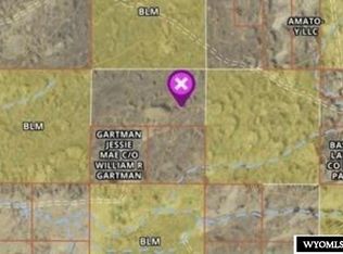
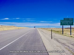
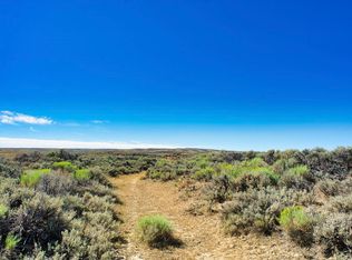
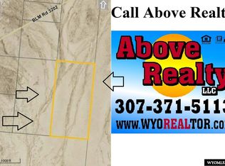
OWNER FINANCED $649 Down Payment 9.75% - 240 months Monthly Payment $208.67 Parcel Number: (JB20A) Legal Description: NW1/4 of the NW1/4, Sec-11, T22N, R91W Access/Roads: This property is located in the checkerboard area (meaning alternate sections divided between private and the federal ownership) and access is per long-standing BLM (Bureau of Land Management) policies (meaning private owners can cross BLM land to get to private property but the public can’t cross private lands to get to BLM property). An actual road, however, may or may not exist at this time. Mineral Rights: As with most oil producing states the mineral rights have been owned by the exploration companies for many years but a landowner would receive some form of compensation if wells were ever drilled. Dimensions: 40-Acres Zoning: Basically “agricultural” and if additional uses are anticipated you should Carbon County Planning & Zoning Department Surveys: All sections were surveyed by the federal government at some time in the past but private surveys for individual 160-acre tracts have not been completed. Property Taxes: Approximately $70 annually Improvements: This is raw, undeveloped land and no improvements or homeowner services of any nature are being represented.
This property is off market, which means it's not currently listed for sale or rent on Zillow. This may be different from what's available on other websites or public sources.